Here is some aerial images which have been taken processed at our prhistory Boar Flat site taken earlier in 2015. Recently the Greater Manchester federation Day had a talk on the scotland coastal heritage at risk project which has been using these technigues.
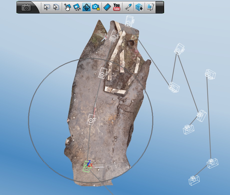
Composite camera positions and composite plan image using the Autodesk 123Catch software
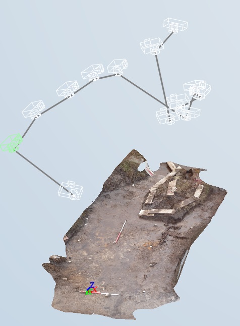
An oblique view with identifed camera positions and a 3d perspective
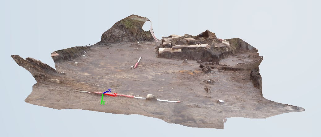
3d perspective at ground level